© Evaneos
Punta Yanayacu Vacations
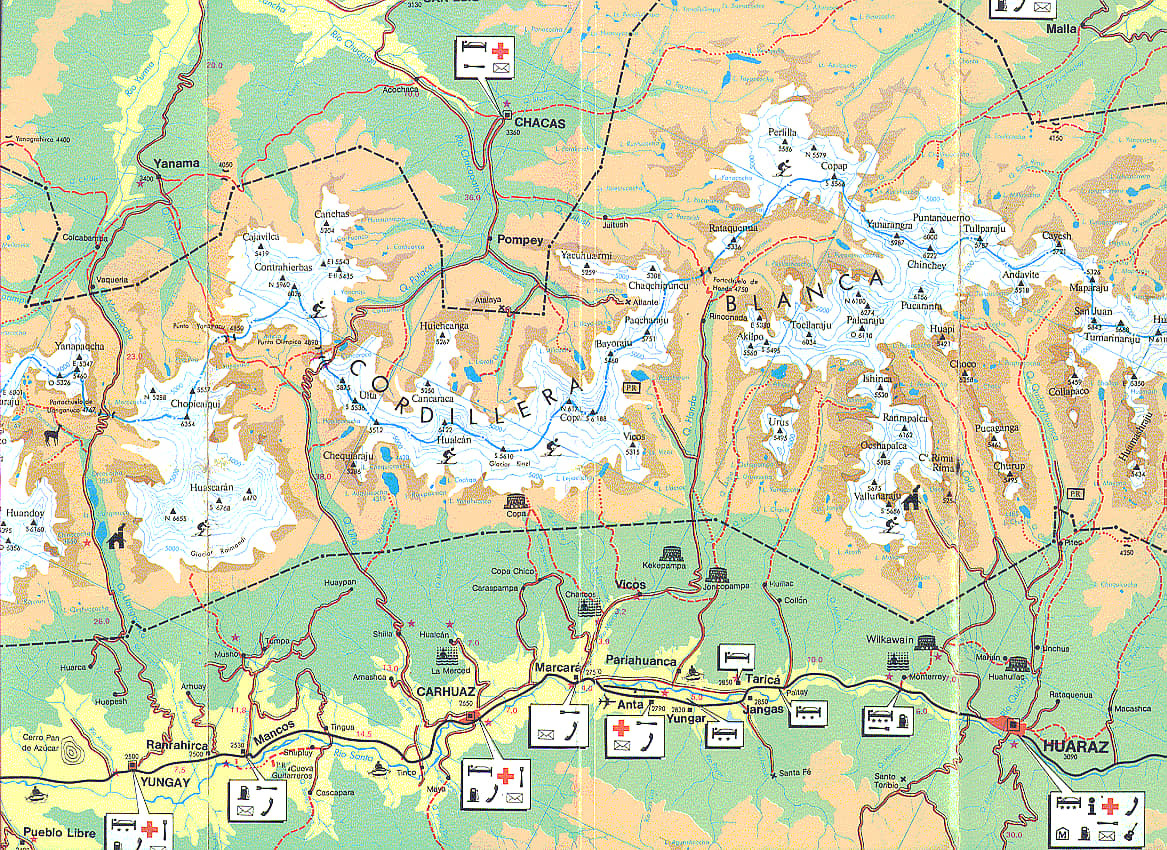
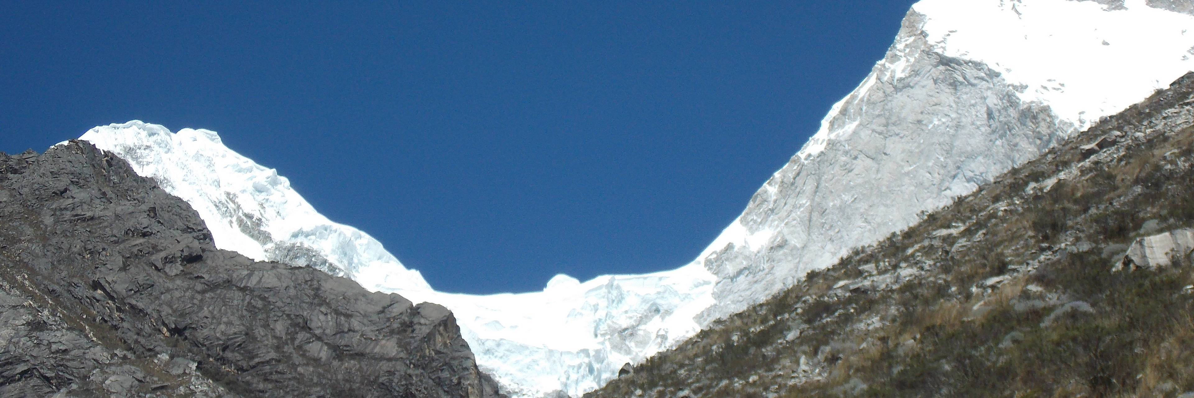
A mountain pass lying at an altitude of 4,900 metres in the Quebrada Utla, a less well-known area of the Cordillera Blanca mountain range.
Visit Punta Yanayacu
- Hiking / Trekking
- Nature, Adventure & Sport
- Mountain
Punta Yanayacu : How to get there?
Four hours from Huaraz by car followed by several days' walking, depending on your itinerary.
Punta Yanayacu : See when to go ?
From April to October
Punta Yanayacu : For how long?
3 to 5 days
Learn more about your destination
Punta Yanayacu : What to see nearby?
What our travelers think of their stay

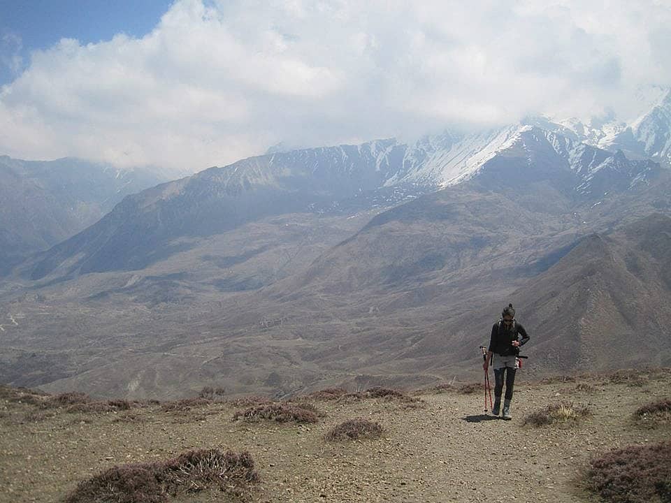
A mountain pass lying at an altitude of 4,900 metres in the Quebrada Utla, a less well-known area of the Cordillera Blanca mountain range.
My suggestion
If you don't have much time to spare, you can get here straight from the town of Chacas.
Peru: our articles for your vacations
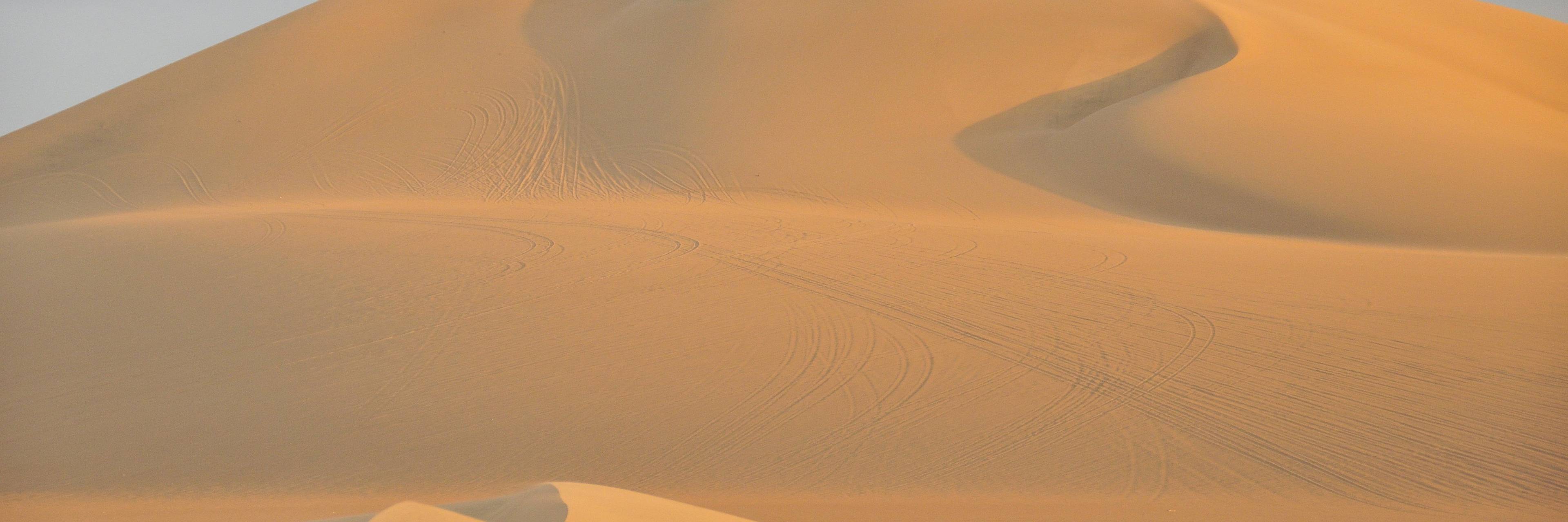
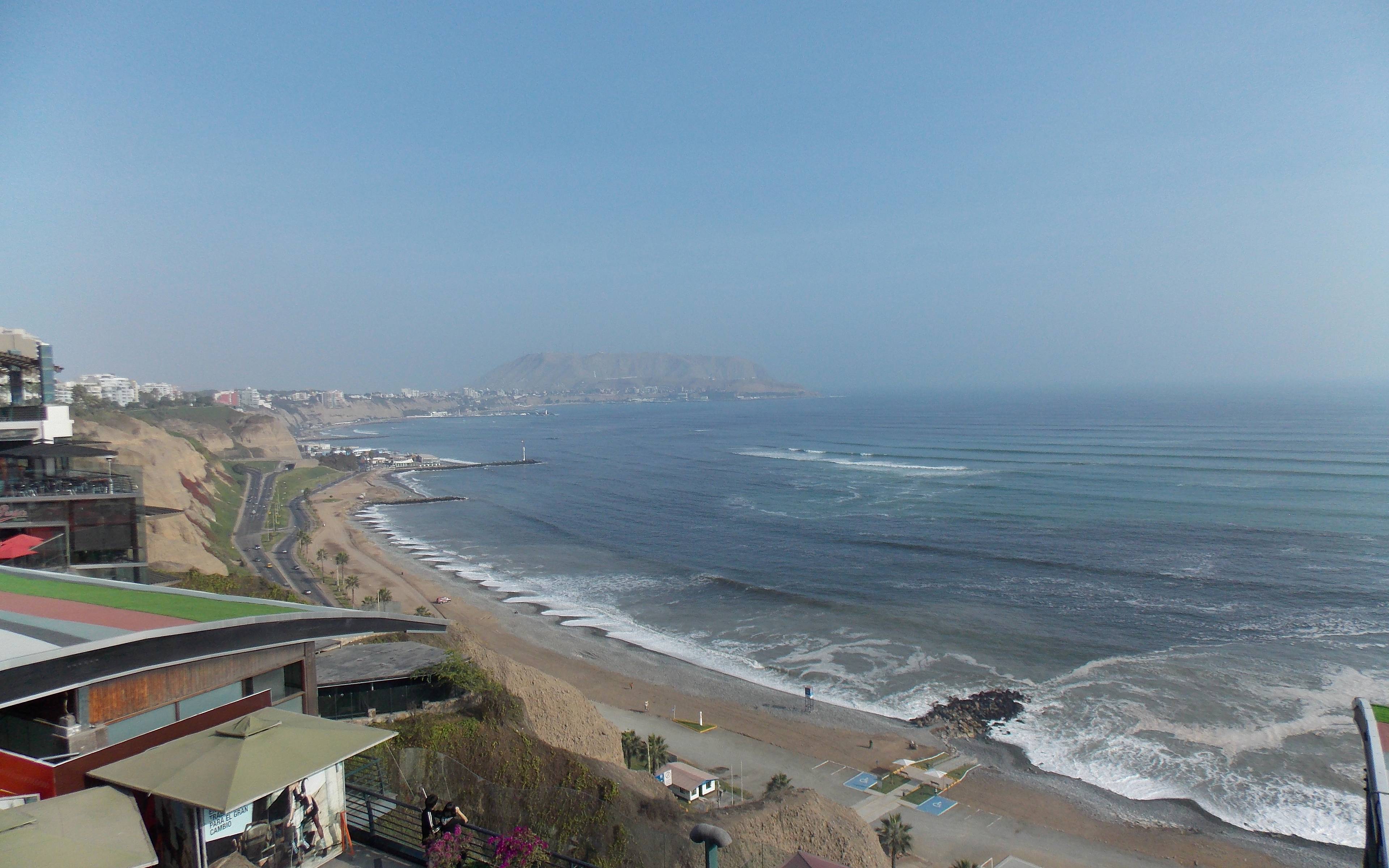
Surf, try new things, explore and more in Ica
Whilst you are in Peri, you must definitely explore the surroundings of Ica. Who would have believed that the country is home to an oasis and a desert, penguins, Pisco and everything, all in such a small place? A journey to the heart of the region can offer you incredible diversity and an unforgettable experience with nature.
Continue reading
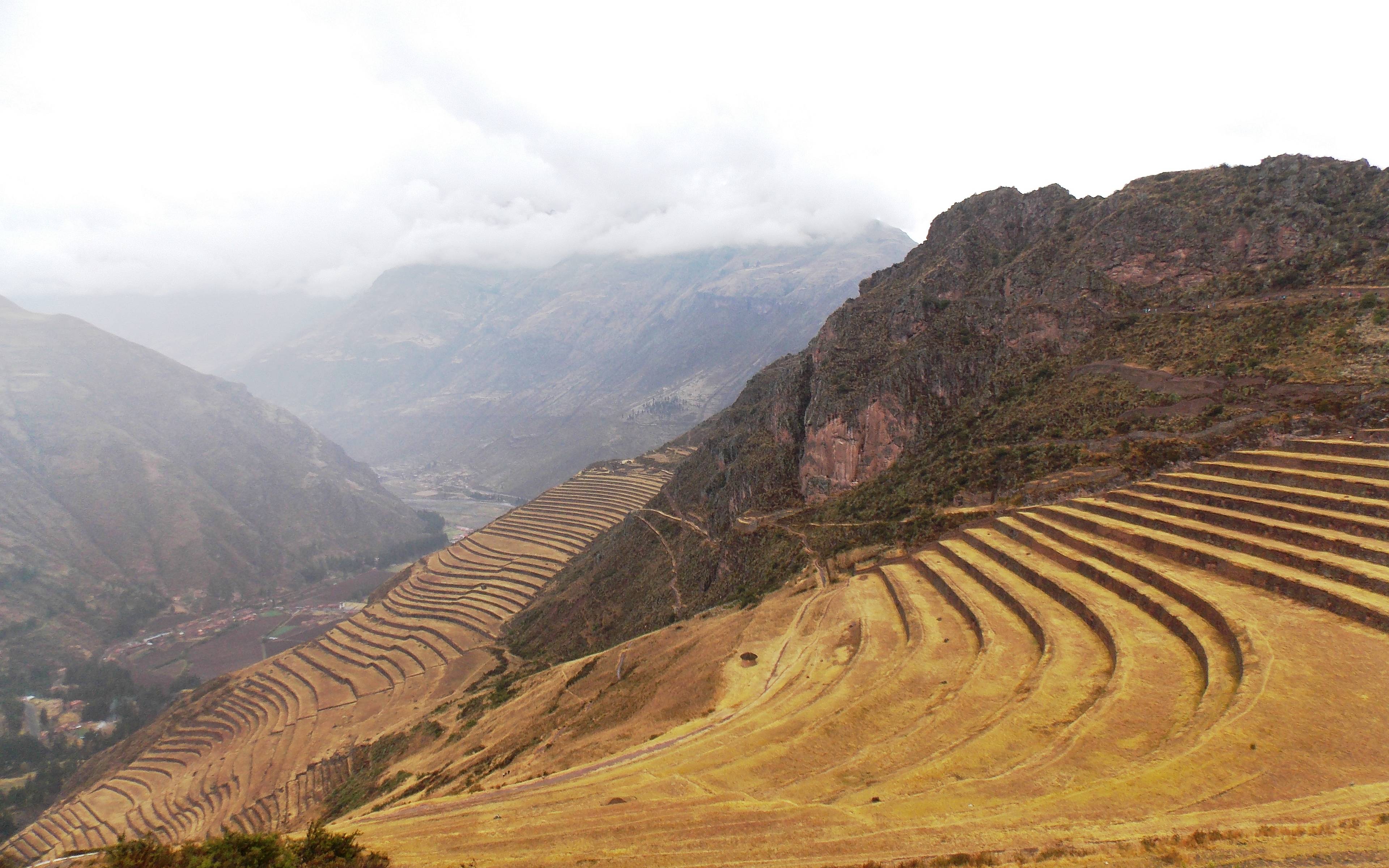
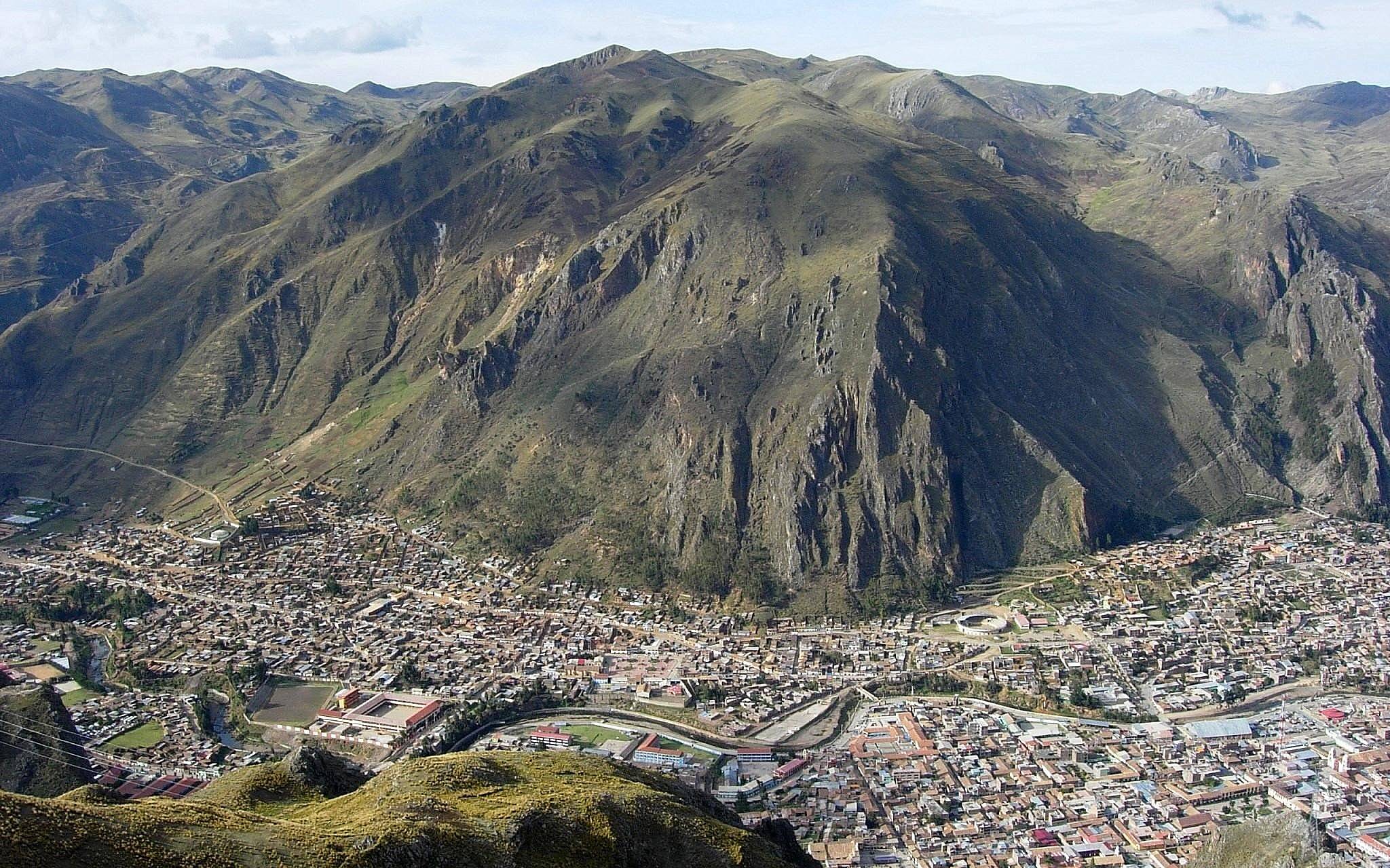
Huarez: a jewel nestled between snow-covered peaks
Huaraz is the perfect departure point for excursions into both the Cordillera Blanca and the Cordillera Negra. It's in the heights of the Sierra that you will truly discover all the fantastic features that the Ancash region has to offer.
Continue reading
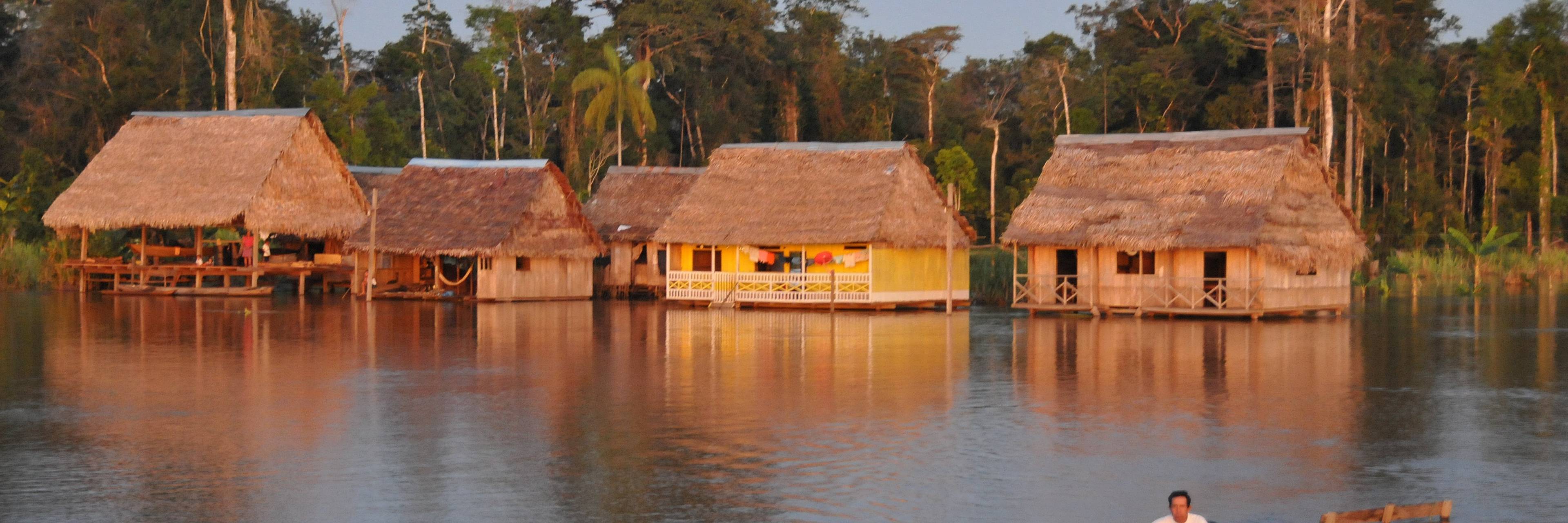
In the heart of the Amazon rainforest: Iquitos and its floating shantytown
Arriving in Iquitos by air gives a foretaste of what awaits you in the dense jungle. From above, all you see is a thick forest that covers the land as far as the eye can see, where only the river and its tributaries stand out from an immense green carpet.
Continue reading
Pasco and Huancavélica: a voyage combining nature and tradition
Located between the Selva and the Cordillera of the Andes, the Huancavélica and Cerro Pasco region will put you under its spell, with its incredible landscapes, the welcoming nature of the local inhabitants and the old traditions that are still very much alive
Continue reading
